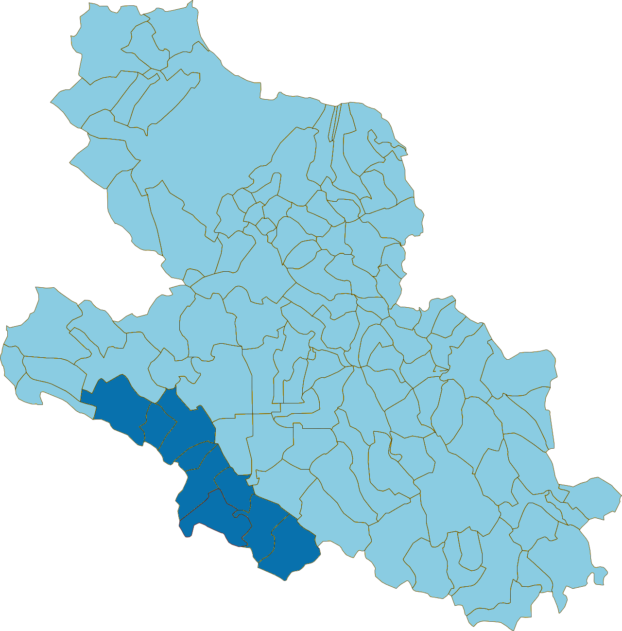
Smartland Valle Roveto is a territorial project that envisions interventions for the protection and enhancement of the artistic, historical and cultural heritage, the landscape, and the promotion of cultural activities. It also includes measures for the development of a mobility network to facilitate the connection of the hamlets and scattered nuclei. Additionally, there are plans for the redevelopment of buildings and public spaces to accommodate services and activities of collective interest, as well as to create new widespread residential areas. The ultimate aim is to contribute to the repopulation of the territory by addressing the demographic exodus.
With the drafting of the Focus Territoriale, the local community expressed its desire to embark on a shared path aimed at enhancing the strengths and uniqueness of the territory to make it more attractive and competitive on the regional and national market, for this reason the Progetto di Fattibilità was submitted in 2025 to the lead Municipality.
0
Municipalities involved
Balsorano, Canistro, Capistrello, Cappadocia, Castellafiume, Civita d’Antino, Civitella Roveto, Morino, San Vincenzo Valle Roveto